Our Portfolio
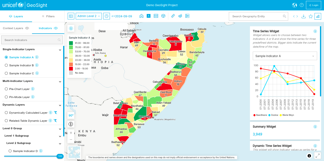
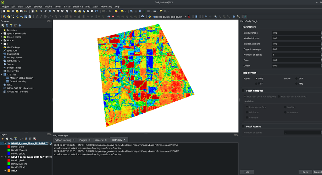
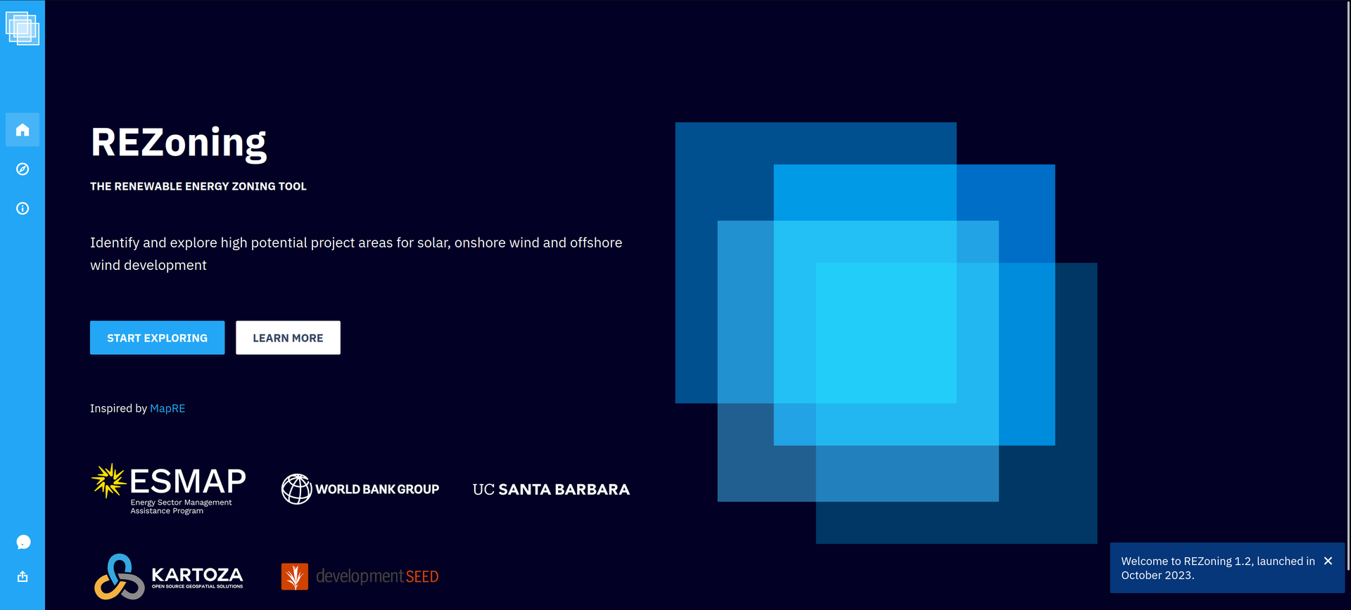
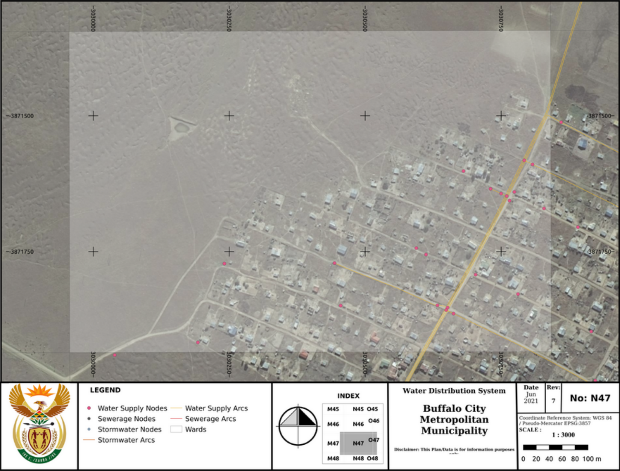
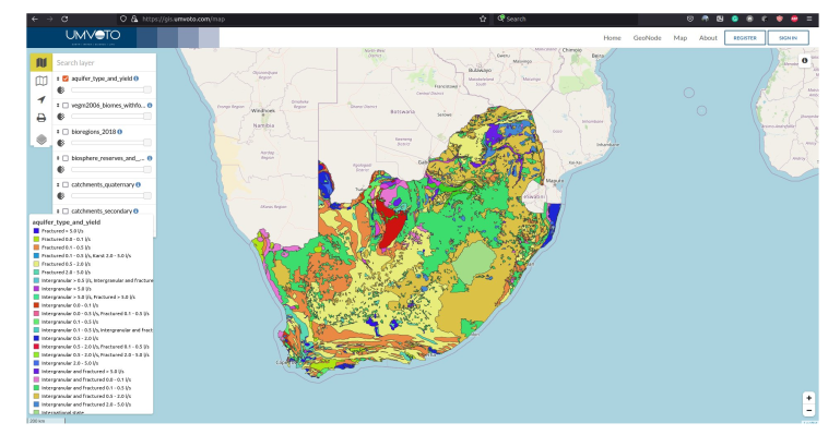
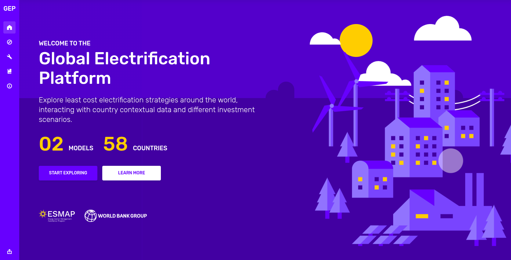
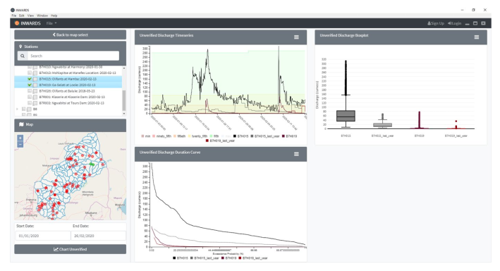
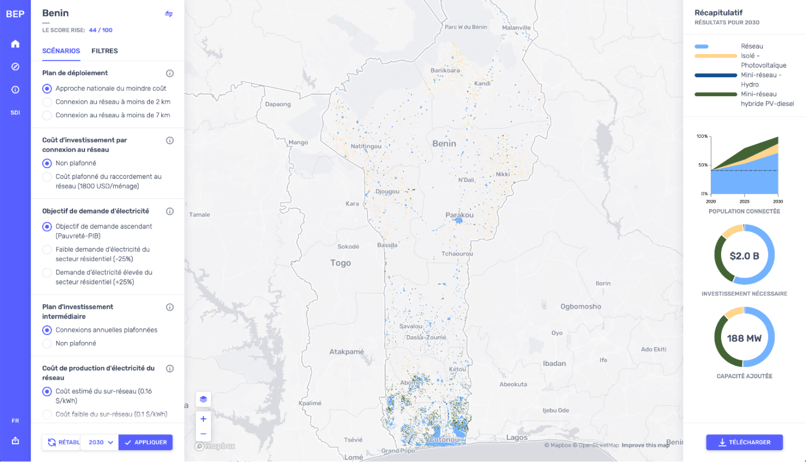

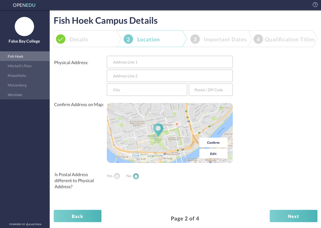
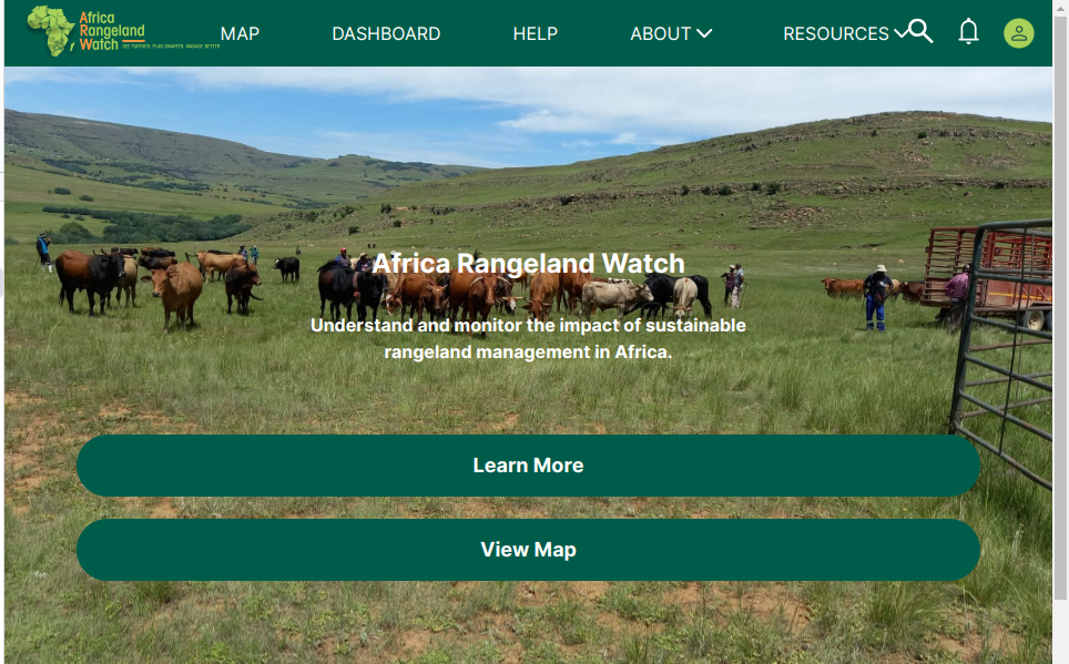
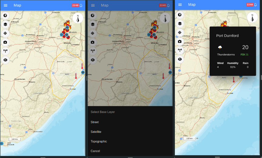
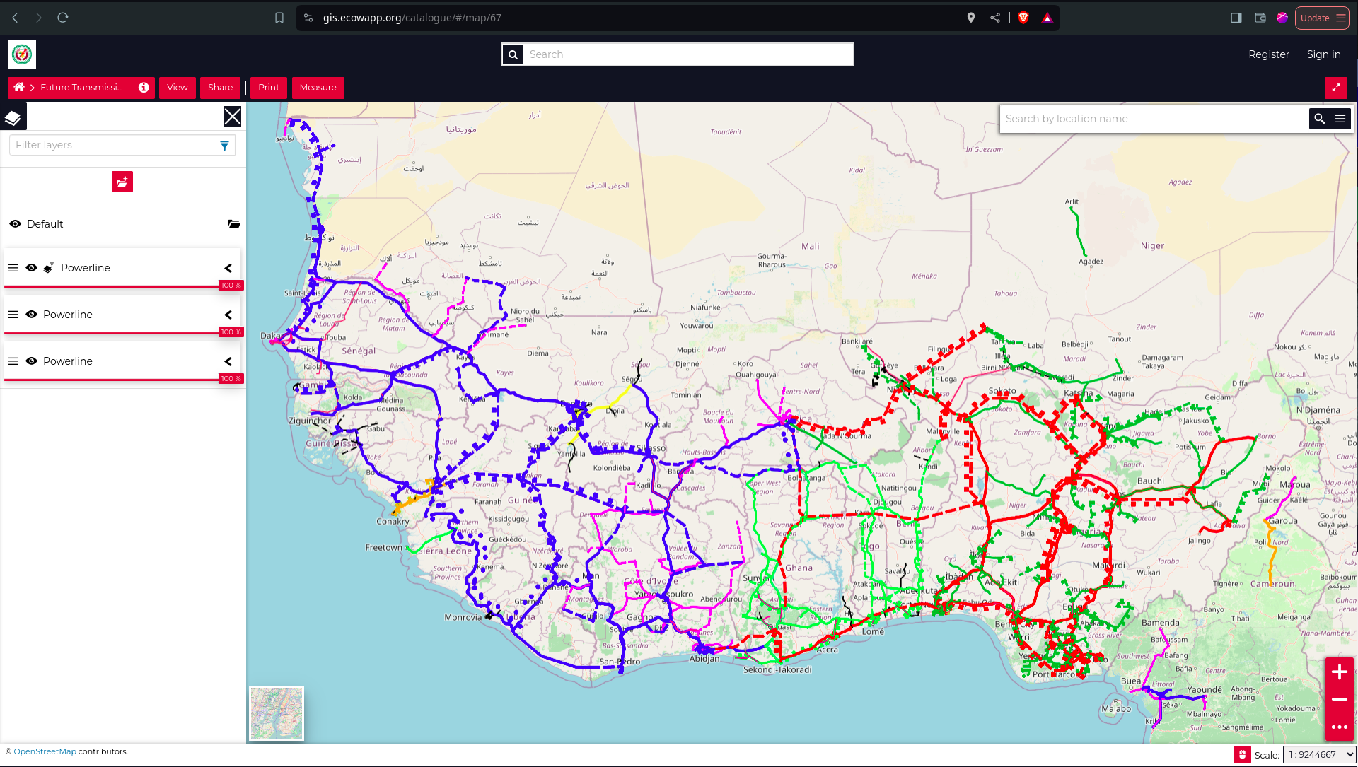
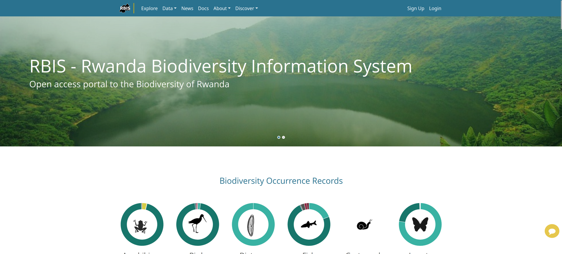
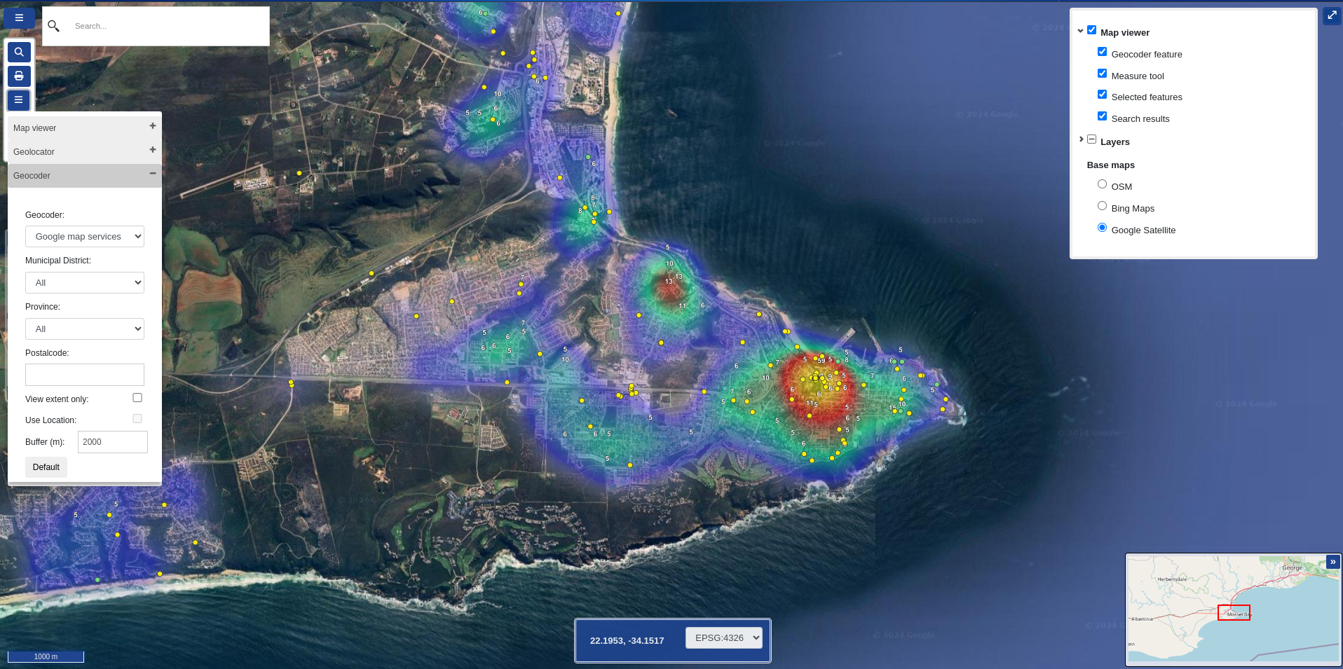


We are a Free and Open Source GIS service provider with registered offices in South Africa and Portugal.
We develop and maintain geographic information systems and
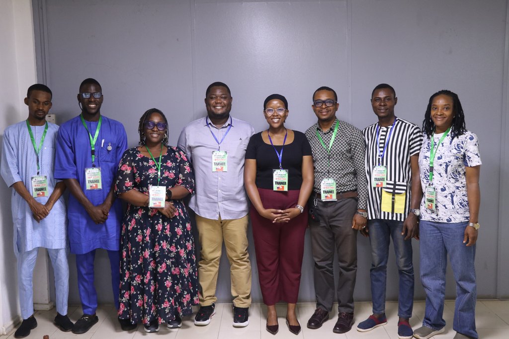
train teams to use geospatial software to its full potential.


Be the first to know! Sign up for our newsletter and stay in the loop with all things Kartoza.