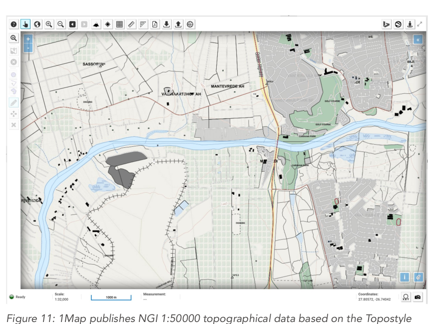
TOPOSTYLE
Kartoza's Topostyle project is an attempt to emulate the official styling with QGIS and SLD styles and map compositions.
Overview
National Geo-Spatial Information (NGI), South Africa’s national mapping agency, supplies free
topographical data to the public, yet they do not supply the map styles. Users who want a
topographical map sheet needed a paper one or a scanned digital version. Kartoza's Topostyle project
is an attempt to emulate the official styling with QGIS and SLD styles and map compositions.
Clients
—


