1Map
Enhancing Mapping Accuracy with Kartoza's Styling of NGI Topographical and Aerial Image Layers
South Africa
1Map Spacial Solutions
Overview
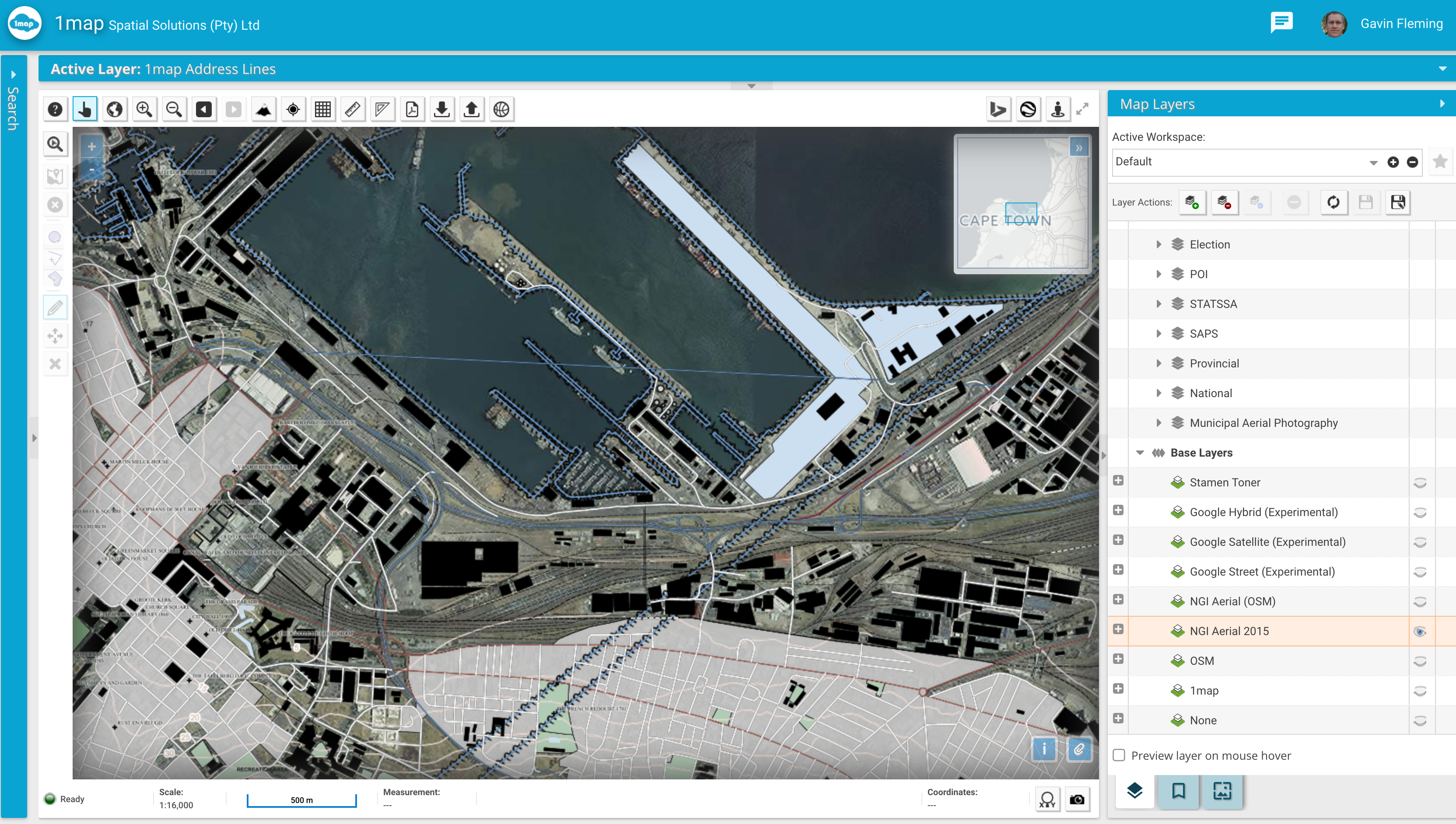
Kartoza prepared and styled the NGI topographical vector layers and the national NGI aerial image layer along with all the municipal aerial image layers.

Services Provided
- GIS Implementation
Project Timeline
—
—
Completed
2019-04-30
Clients
—


