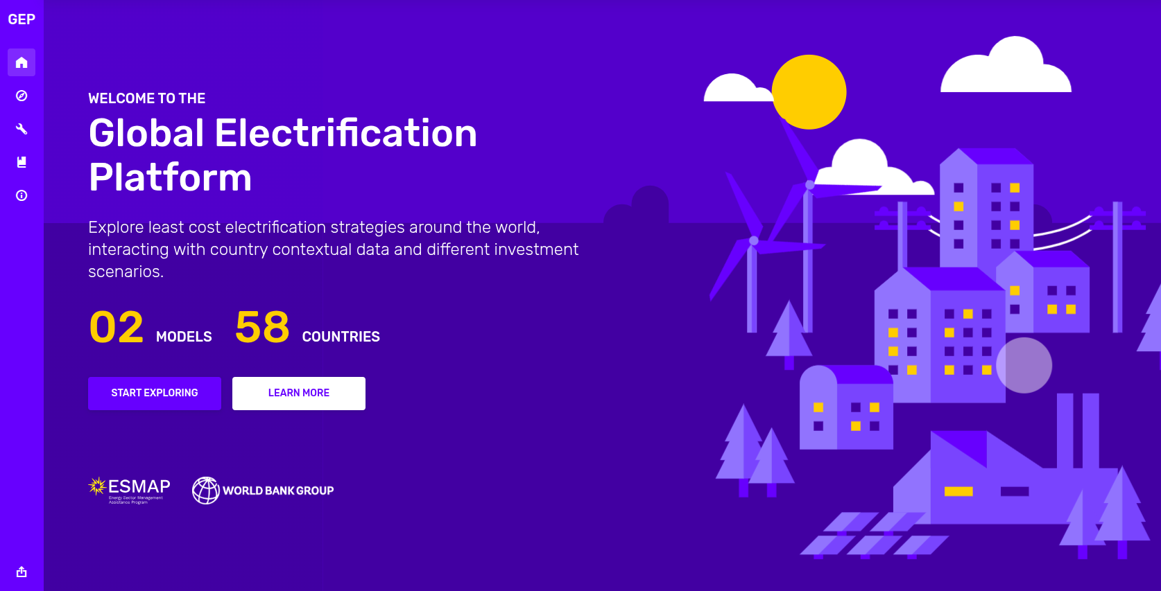
World Bank's Zimbabwe Electrification Platform
Kartoza developed the World Bank’s Zimbabwe Electrification Platform, a national Spatial Data Infrastructure that integrated electricity infrastructure, population, socio-economic, and renewable energy datasets to support evidence-based energy planning. The platform enabled least-cost electrification analysis, helping decision-makers prioritise investments, identify under-served areas, and track progress using transparent, open-source geospatial tools.
Overview
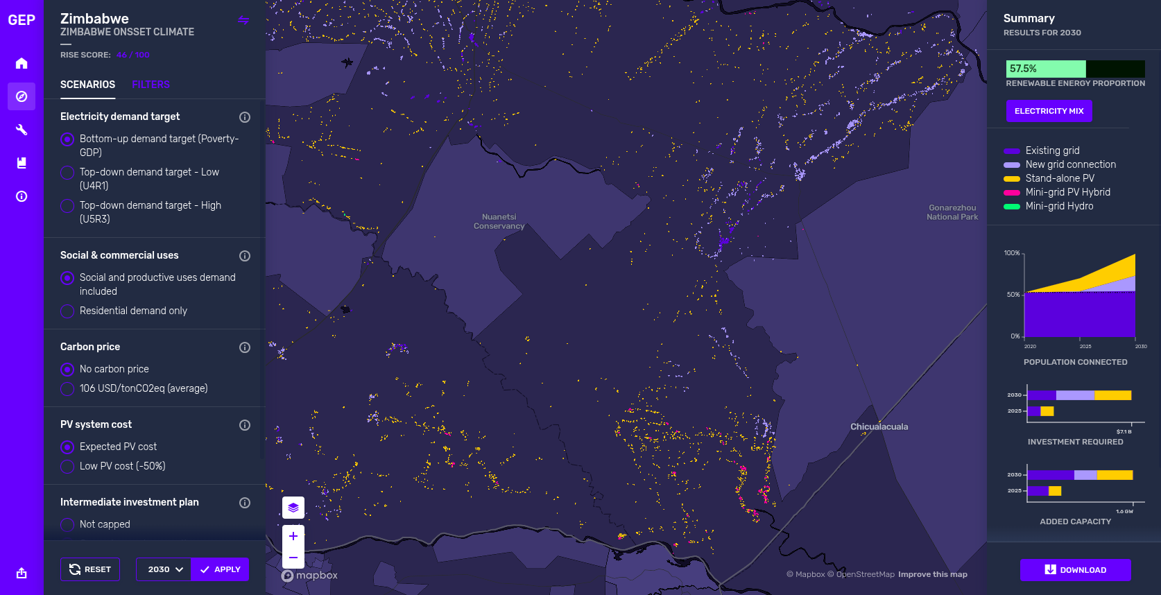
Kartoza was engaged by the World Bank to design and implement the Zimbabwe Electrification Platform, a national-scale Spatial Data Infrastructure (SDI) aimed at supporting strategic, data-driven electrification planning. The challenge was to expand electricity access in a way that was cost-effective, equitable, and focused on reaching Zimbabwe’s most underserved communities. Building on Kartoza’s experience delivering least-cost electrification platforms in countries such as Somalia, Somaliland, and Benin, the project focused on transforming complex geospatial data into actionable insights for decision-makers.
Kartoza developed a robust, user-friendly web platform that integrated diverse geospatial datasets into a single, coherent SDI. These datasets included existing electricity infrastructure, population distribution, socio-economic indicators, and renewable energy potential, all visualised through interactive maps and analytical tools. A key component of the platform was least-cost electrification modelling, which enabled users to compare different electrification scenarios and identify the most viable solutions for specific regions. Throughout the project, Kartoza worked closely with stakeholders through workshops and collaborative design sessions to ensure the platform aligned with real-world planning and policy needs.
The Zimbabwe Electrification Platform empowered governments and energy practitioners to prioritise investments, identify under-served areas, and plan and track electrification projects based on evidence rather than assumptions. By centralising critical information and making advanced spatial analysis accessible, the platform strengthened decision-making and improved transparency in energy planning. In line with Kartoza’s mission, the solution was built using Free and Open Source Geospatial (FOSSGIS) software, ensuring a sustainable, extensible, and long-term asset for Zimbabwe’s electrification efforts.
Project Timeline
Clients
.png)


