Energy Modelling Platform Training
Kartoza's work supports the global mandate of the Energy Modelling Platforms (EMP), which are designed to enhance the capabilities of professionals (including academics, government analysts, and private sector consultants) in the critical field of energy system modelling.
Overview
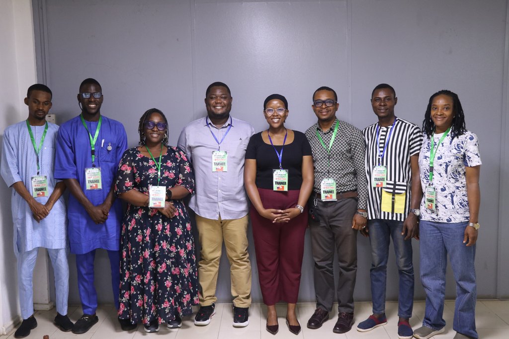
Since 2019, Kartoza has been providing training and consulting focused on practical skills in various energy modelling tools. The focus of the training is to leverage Free and Open Source Geospatial Information Systems (FOSSGIS) tools for geospatial management to help with energy access modelling and planning. This training forms part of the Climate Compatible Growth initiative. There are many Energy Modelling Platforms (EMPs) that are global, continental, and country-specific.
Kartoza provides specialised expertise in the design and delivery of capacity-building programs, with a focus on data management and geospatial analysis for the energy sector:
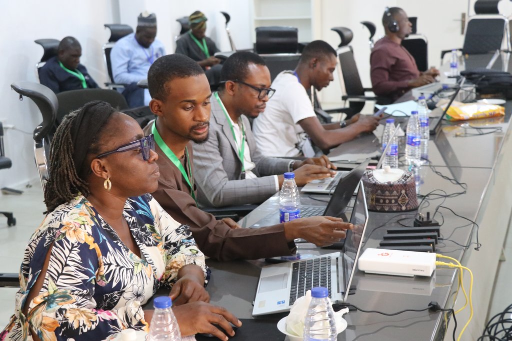
- Training & Curriculum Development: Delivering intensive training on the practical application of FOSSGIS for electrification efforts, including hands-on use of QGIS, PostgreSQL/PostGIS, and GeoServer.
- Data Strategy & Modelling: Educating clients on developing and populating robust geospatial databases, and building data models for complex infrastructure planning.
- Collaborative Systems: Training teams on how to effectively share data and work in multi-user, collaborative environments.
Core Technical Focus
Kartoza's training covers the following key technical areas:
- Understanding the concepts and application of open source, open data, and open standards in national planning.
- Creation and population of functional, multi-user geospatial databases.
- Geospatial data modelling, analysis, and visualisation.
- Applying advanced GIS techniques within an electrification context to support informed policy and investment decisions.
Examples of Applied Project Outcomes
Training and consulting projects have resulted in actionable models and plans, including:
- Electrification Strategy Development: Creating comprehensive models to determine the most viable electrification technology (grid extension, mini-grid, or solar home systems) for thousands of remote settlements.
- Optimal Site Selection for Renewables: Developing multi-criteria GIS models to identify the most suitable locations for new infrastructure, such as utility-scale Solar Photovoltaic (PV) plants, based on factors like slope, aspect, environmental exclusions, and proximity to existing networks.
- Infrastructure Optimisation: Using geospatial analysis to address operational challenges, such as modelling customer load to identify which electrical transformers are nearing or exceeding peak capacity to prevent outages and equipment loss.
- Mini-Grid Feasibility Analysis: Applying GIS tools to select optimal power house sites for mini-grid systems in isolated communities, minimising distribution costs and environmental impact.
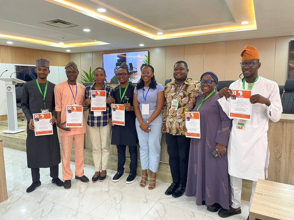
Image: Training Attendees holding their certificates with their Trainers.
Clients
—


