Blog

Publishing biodiversity data to GBIF, straight from BIMS
Discover how BIMS connects directly to GBIF, making biodiversity data sharing more accessible, automated, and responsible while keeping datasets continuously updated.

Under the Hood: Lightning-Fast Spatial Queries with PostGIS
Stop waiting hours for spatial joins. Learn how to drastically speed up PostGIS queries using GiST indexes, bounding box operators, and execution plans.



How to Use Custom Icons in Maputnik (Sprite Sheet Guide)
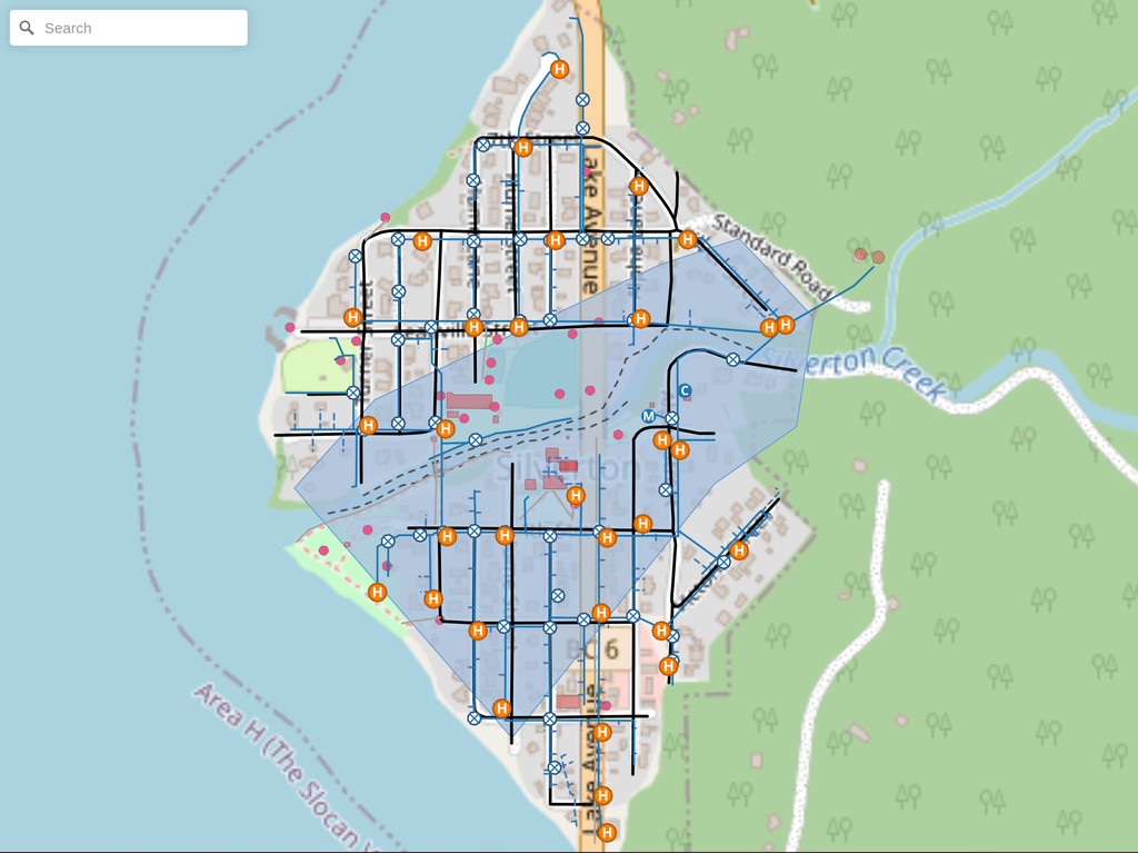
Learn how to compile custom SVG icons into a Maputnik-friendly sprite sheet using spritezero-cli. We cover generation, GitHub hosting, and symbol layer setup.
Unlocking the World in Your Classroom: Namibia & eSwatini Topo Sheets, New Thematic Projects, and Dynamic Indexes
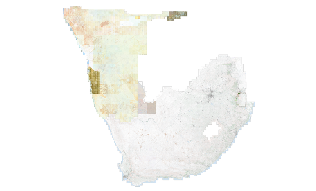
The SAGTA Map Downloader just levelled up! Discover new Namibia and eSwatini topo sheets, dynamic map indexes, and rich thematic mapping projects built for the modern Geography classroom.
Kartoza at BioMonWeek
In early May Kartoza attended BioMonWeek in Montpellier, France; the first ever European-wide conference on biodiversity monitoring. We went to show off our biodiversity information management system

Building an Operational Geospatial Workflow
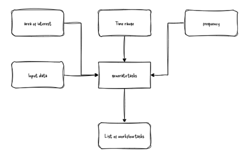
The following blog article covers the main parts expected in a scalable and resource-efficient workflow, which you can use as a template to get you started.

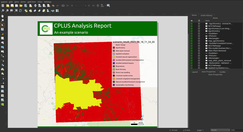
Mapping a Sustainable Future: A Real-World Use Case for Open-Source GIS in Conservation
Explore real-world use cases of open-source GIS in conservation. Learn how Kartoza builds custom FOSS tools to help organisations manage spatial data.
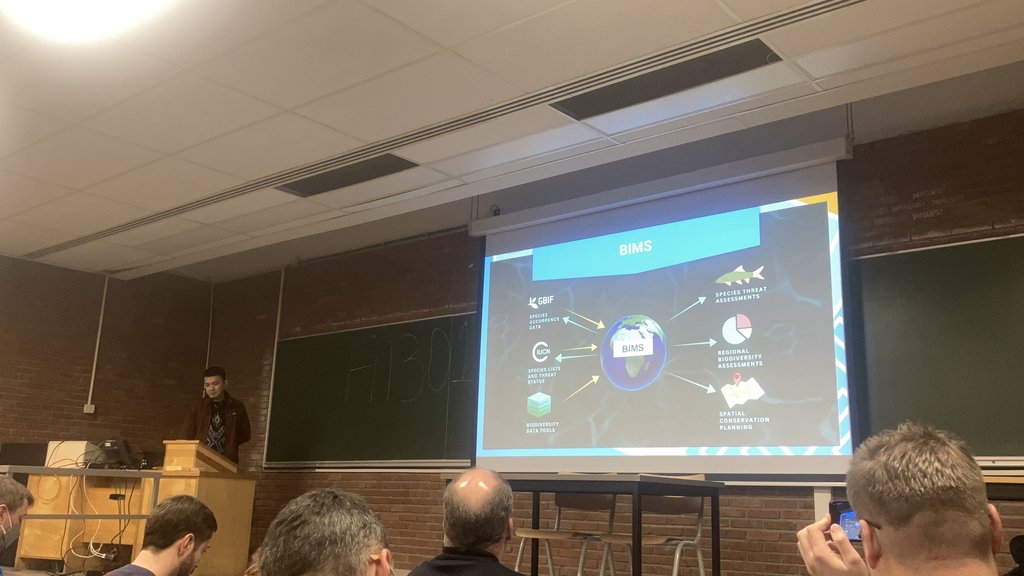
Reflections on FOSDEM 2026
A reflection on my first time attending a FOSDEM conference. I learned a lot from the various talks presented at the event.
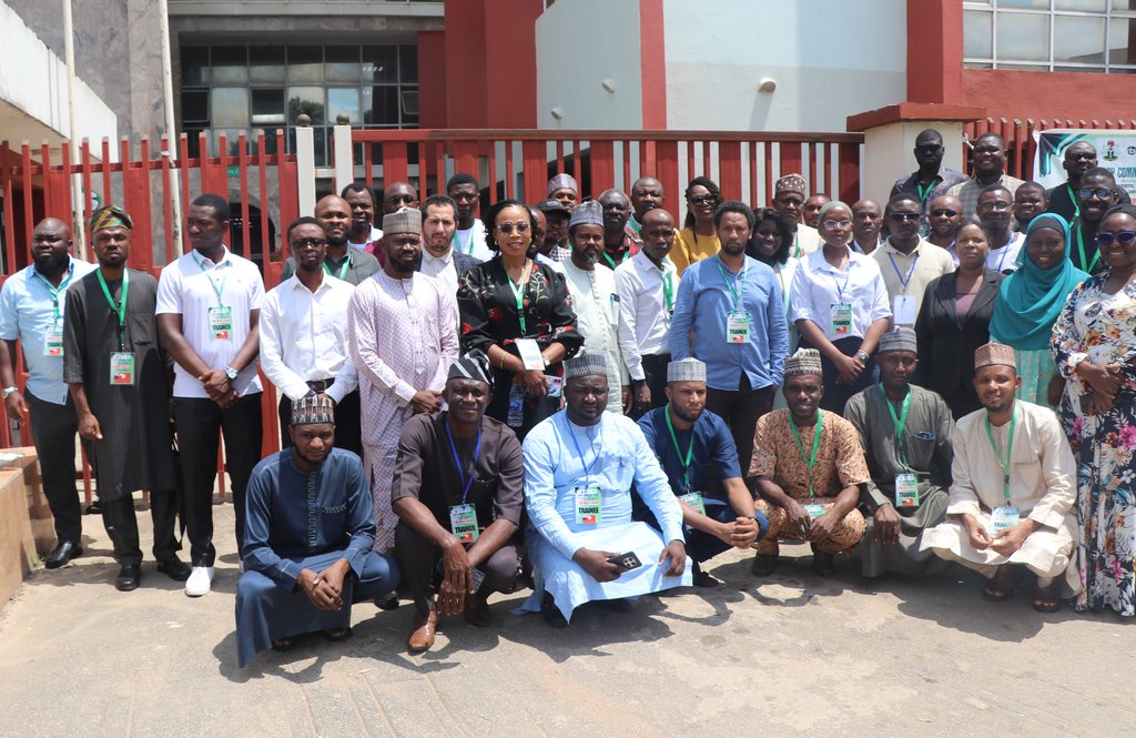
Building Energy Planning Capacity in Nigeria: Reflections on EMP-N 2025
Recap of EMP-N 2025 in Abuja: Supercharging Nigeria's energy planning with geospatial data training!

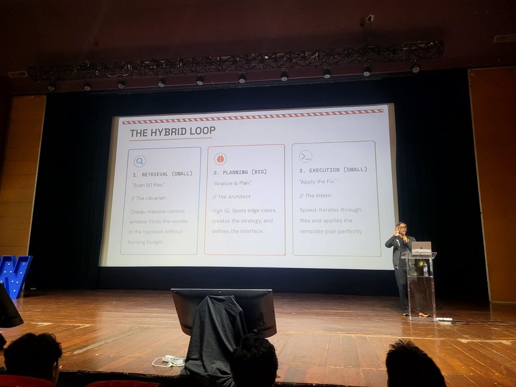
How AI Tools Are Transforming Developer Workflows: Lessons from IDSW
The IDSW is a community-led annual software developer conference and the main theme of this year was AI (Artificial Intelligence).


Get Ready: Geospatial Hosting Is On the Way
Over the past year, we have been working on GeoSpatialHosting (GSH), a platform designed to make it easier to deploy and manage open-source spatial tools.

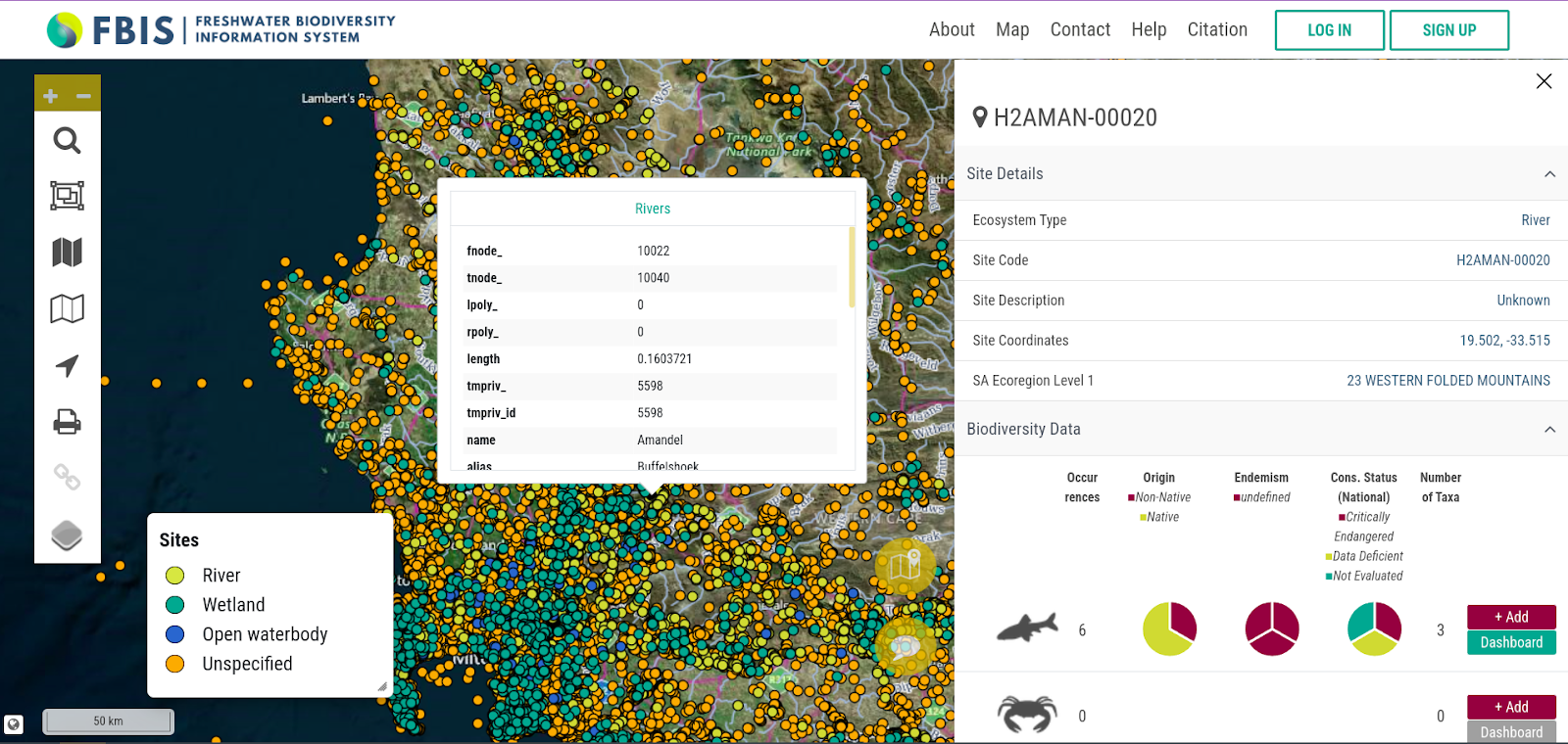
Agile Project Management for a Geospatial Consultancy
GIS projects face challenges like data complexity, tech changes, and budget limits. Kartoza uses Agile and Scrum to enhance flexibility, collaboration, and efficiency, ensuring better project outcomes


Mapping My World: A Journey with OpenStreetMap
OpenStreetMap is a free, editable map of the world made by a community of mappers. Used for navigation, planning, and more, anyone can contribute, making it valuable for local and global project.

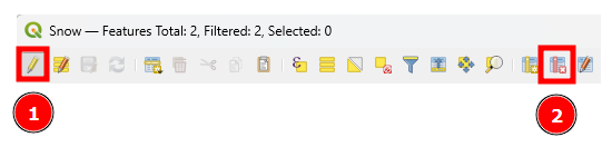
Streamlining Geospatial Data for GeoPackage Upload
My GeoPackage exceeded the 5MB limit due to excess vertices, unused attributes, and residual data. By simplifying geometries and optimizing the database, I reduced it from 9.7MB to 1.6MB.

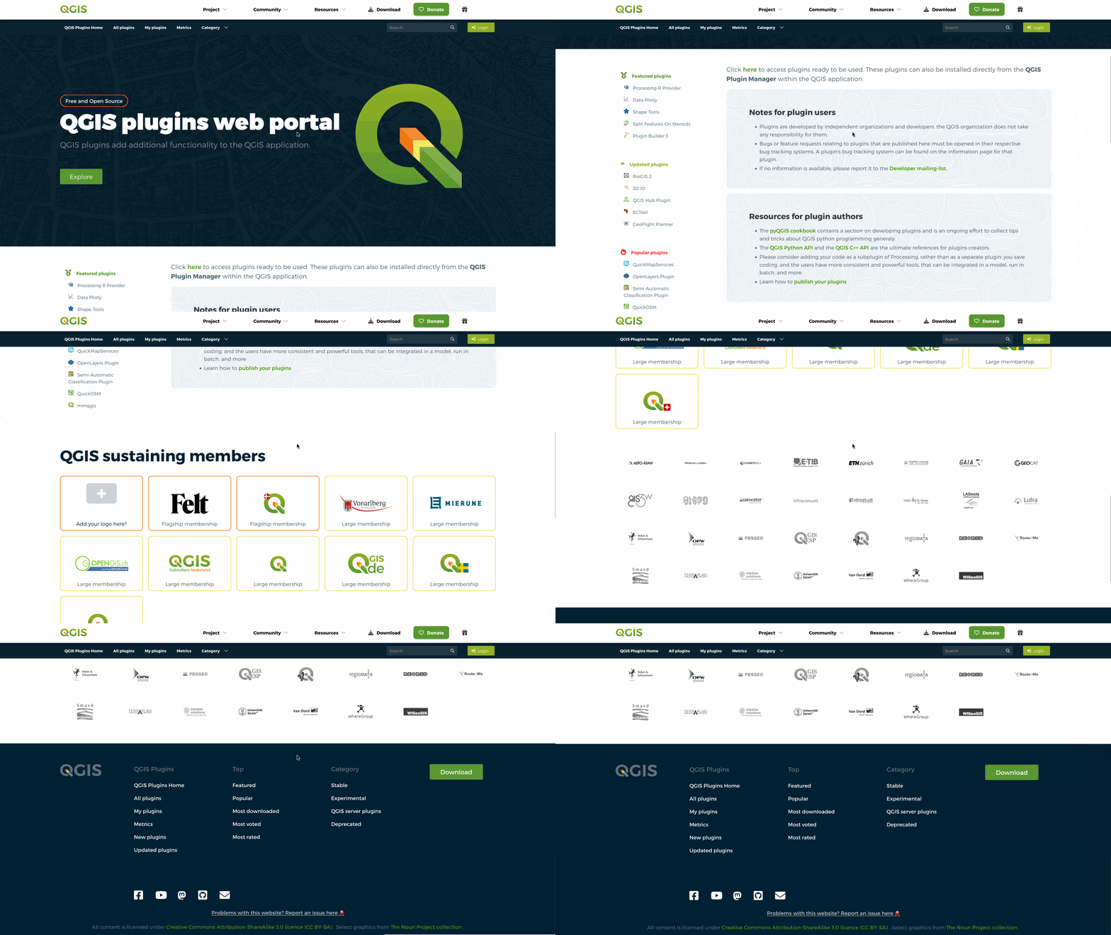
Introducing the new QGIS Plugins Website and QGIS Hub
The QGIS Plugins website has undergone a major redesign to enhance usability and provide a seamless experience for users.


Rendering Points as a Heatmap in GeoServer
A brief walk through on how an SLD to render a Heatmap with Labelled Clusters was made for GeoServer.