GEOSIGHT
GeoSight is an open-source geospatial platform originally developed with UNICEF to make spatial data easy to explore, share, and visualise. Kartoza helped transition the project into an independent, community-driven initiative to ensure long-term sustainability and wider adoption.
Overview
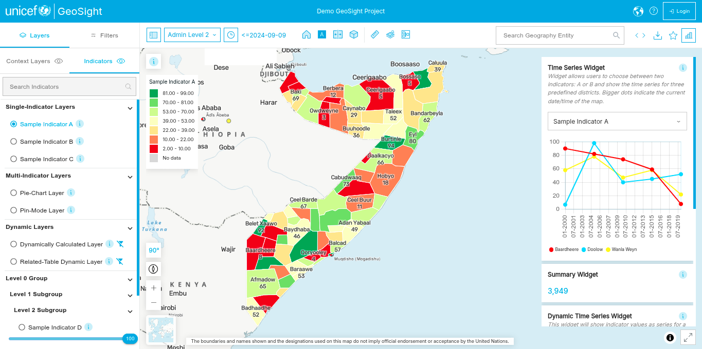
GeoSight is an open-source geospatial platform originally developed in collaboration with UNICEF. The project began with a clear purpose: to provide reliable, user-friendly access to spatial data and visualisations, supporting decision-makers with meaningful geographic insight.
As the platform grew, a new challenge emerged, sustaining GeoSight beyond its initial development phase and ensuring that it could evolve as a true open-source project. Kartoza helped lead a strategic shift from a UNICEF-hosted codebase to an independent GitHub organisation. This transition created space for broader community involvement, reduced branding constraints, and opened the door for commercial support services such as consulting, hosting, and custom development.
A key part of Kartoza’s contribution was shaping the governance model to protect UNICEF’s investment while allowing the platform to mature. This included proposing a Project Steering Committee (PSC) with UNICEF representation to guide long-term decision-making and maintain stability as new contributors join the project.
Kartoza has contributed significantly beyond the original paid scope to drive GeoSight’s long-term sustainability. Our goal is to foster a growing contributor ecosystem, support multi-tenant use cases, and offer GeoSight as a hosted solution to organizations who need accessible, high-quality geospatial tools. Today, GeoSight is positioned as an independent open-source platform with a clear path for future enhancement, innovation, and community participation.

Services Provided
- Consulting & Architecture
- Custom Development
- Data Workflows & Integration
- Deployment & DevOps
- Managed Hosting & Support


