Global Evergreening Alliance (GEA) - Eligible Project Area Locator (EPAL) Tool
The Global Evergreening Alliance (GEA) Eligible Project Area Locator (EPAL) Tool is a powerful QGIS plugin designed to facilitate and streamline reforestation project planning and evaluation across Africa. This innovative tool addresses the critical need for efficient and data-driven approaches to identify suitable afforestation sites and generate comprehensive reports.
Overview
The core vision of the GEA Eligible Project Area Locator (EPAL) Tool is to empower both field office users and head office personnel with a robust, open-source geospatial tool that simplifies the process of assessing potential reforestation sites. It aims to provide visual context through historical and current satellite imagery, integrate exclusion masks, and automate report generation for effective data sharing and decision-making. It is a collaborative effort between GeoTerra Image, Kartoza and The Cirrus Group.
The QGIS plugin boasts a range of features designed to enhance user experience and data accuracy:
- Intuitive User Interface: The plugin provides a user-friendly interface with key functionalities like selecting target areas, accessing saved projects, and navigating through historical imagery.
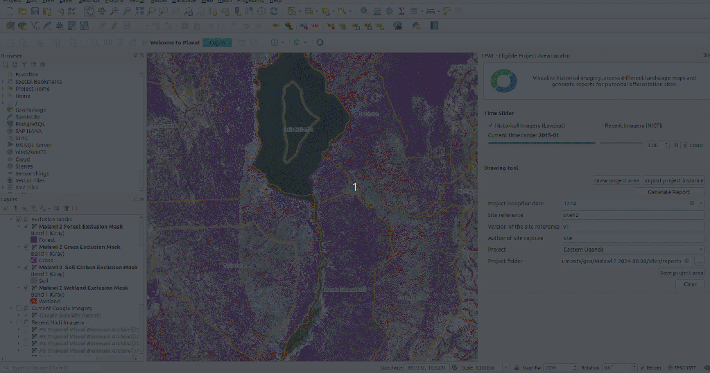
- Time Slider for Historical Imagery: Users can easily scroll through historical and current satellite imagery (Landsat, Sentinel, Google Imagery) using a time slider, enabling visual analysis of changes in forestation over time.
- Drawing Tool for Project Area Delineation: A dedicated drawing tool allows users to precisely capture polygons of proposed reforestation sites, with automated calculation of the site's area. The tool also includes fields for inputting essential attributes like date, country, and farmer ID.
- Automated Report Generation: The platform automates the creation of detailed PDF reports for proposed project areas, incorporating site location maps, landscape exclusion/inclusion areas, and historical imagery comparisons. These reports are designed for easy sharing with head office.
- Import of External Spatial Data: Recognising that site data might be collected externally (e.g., via Survey123), the plugin includes functionality to import shapefiles containing multiple polygons, each with associated attributes.
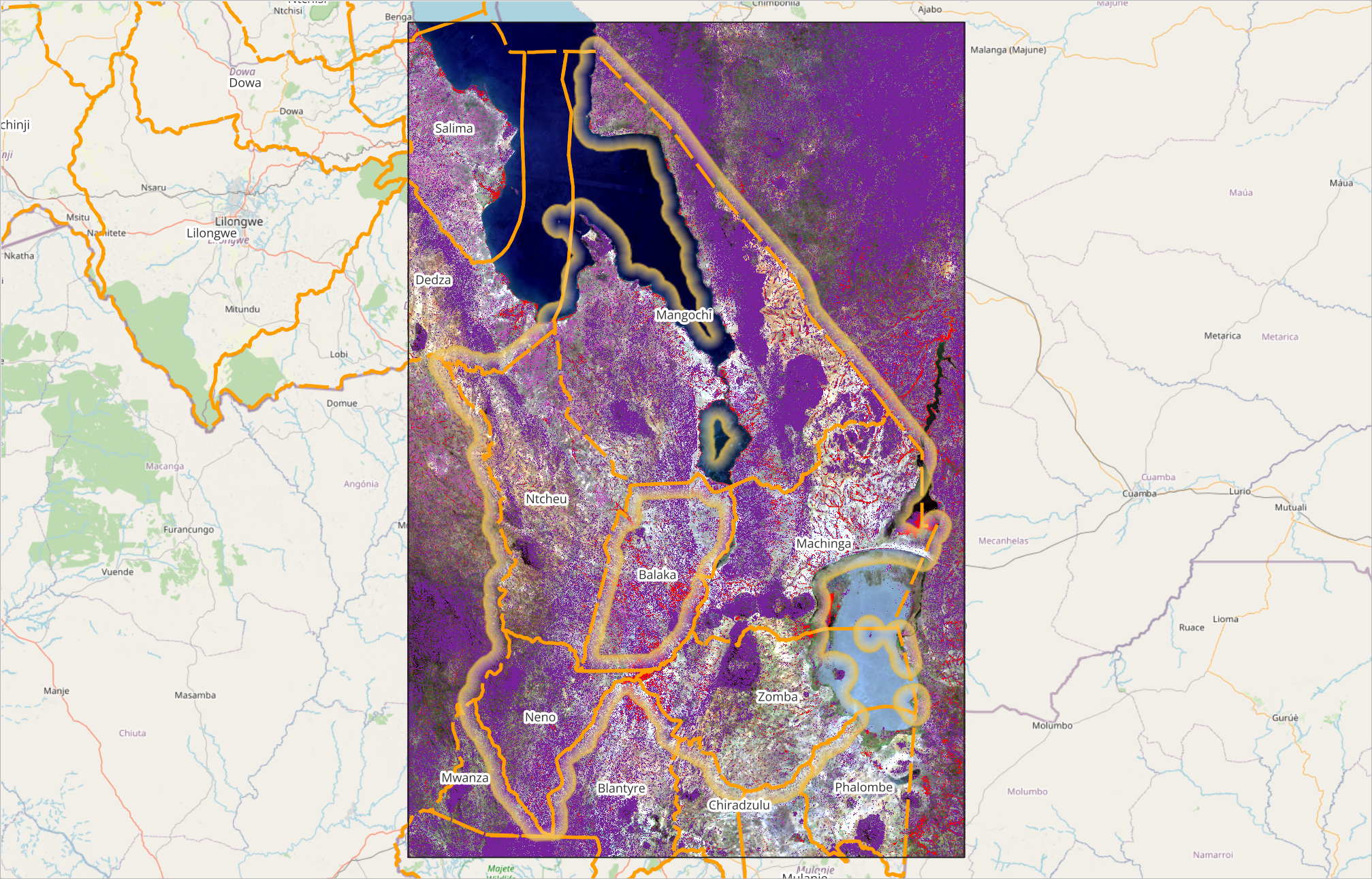
- Exclusion Masks: The tool integrates "exclusion masks" to identify areas unsuitable for reforestation based on criteria like existing forest, grassland, wetland, and high organic content soil, adhering to standards defined by Gold Standard and Verified Carbon Standard.
- Data Organisation and Management: The QGIS project is structured to logically organise associated context data, including administrative areas, masking layers, and historical imagery.
The GEA EPAL Tool is built upon:
- QGIS: The core open-source Geographic Information System (GIS) software.
- Google Earth Engine (GEE): Used for accessing high-resolution imagery and time-slider functionality.
Project Timeline
Clients
—


