QGIS GEONODE PLUGIN
QGIS GeoNode Plugin
Overview
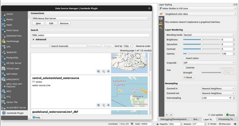
The QGIS GeoNode Plugin. This plugin allows users to work with and manage resources from their
(or others’) GeoNode deployments. GeoNode is a robust web mapping software for deploying
spatial data infrastructures. Typically accessed and administered from a web front end, it is useful
for users to be able to access and work with their GeoNode data in QGIS, particularly when
running spatial analytics or when they wish to use data from other GeoNode deployments in their
projects. This plugin was developed in collaboration with GeoSolutions, who sought out Kartoza to
develop an easy way for users to conduct complex GeoNode actions in QGIS. The basis of the
project was intended to provide next-generation support for GeoNode, replacing the previous
implementation that had been added to QGIS with funding from the World Bank. With multiple
parties interested in the ultimate outcome of the plugin, Kartoza was tasked to create a plugin that
could serve as the one stop shop for users looking to use GeoNode functionality effectively.
Clients
—


