QGIS Trends.Earth plugin
Conservation International contracted Kartoza to add additional features to the trends.earth plugin, a QGIS plugin. Trends.Earth is a free and open source tool to understand land change: the how and why behind changes on the ground.
Overview
Trends.Earth is a free and open source tool to understand land change: the how and why behind changes on the ground. Trends.Earth allows users to draw on the best available information from across a range of sources - from globally available data to customized local maps. A broad range of users are applying Trends.Earth for projects ranging from planning and monitoring restoration efforts, to tracking urbanization, to developing official national reports for submission to the United Nations Convention to Combat Desertification (UNCCD).
Initial Work
Initially the GEO Secretariat contracted Kartoza to upgrade and update the Trends.Earth plugin, a QGIS plugin that monitors land changes using earth observation data and provides tools for land management decisions. Later, Conservation International, the new Trends.Earth custodians, contracted Kartoza to add additional features.
Enhancements to Support UNCCD Reporting
Conservation International (CI) developed Trends.Earth, a free and open-source geospatial toolkit using cloud computing and integrating the best available datasets, to track land degradation over time. During the most recent round of reporting to the UNCCD, CI collaborated closely with UNCCD to enable Parties to directly upload analyses from Trends.Earth to the upgraded Performance Review and Implementation System (PRAIS 4). Almost 75% of those countries that uploaded spatial data to the PRAIS 4 system did so using Trends.Earth.
The objective of this project will be to respond to data-related requests from Parties to the UNCDD to provide the necessary support to the small island developing States (SIDS), but also to continue to support the UNCCD country Parties in reporting efforts made to address Land degradation Neutrality and lay the groundwork for an effective capacity building program prior to the next UNCCD reporting cycle.
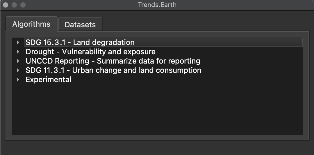
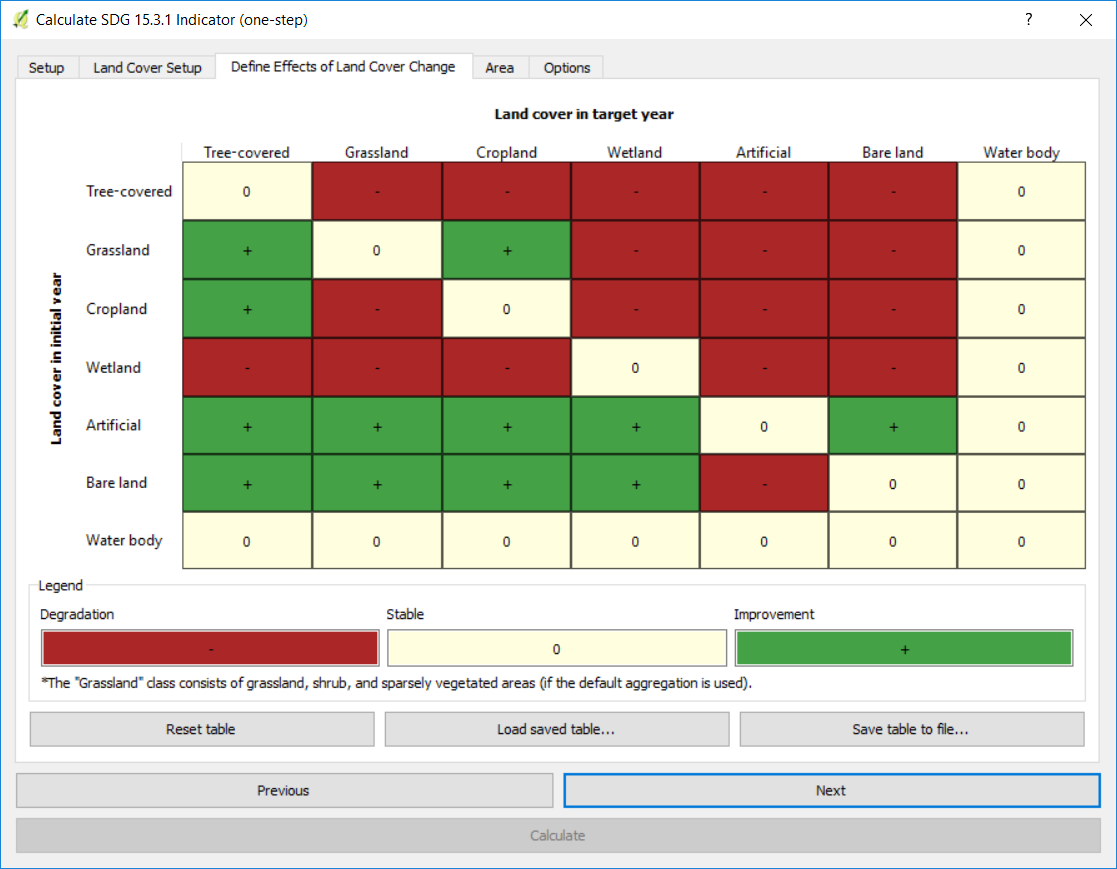
Kartoza was contracted to develop the Trends.Earth QGIS Plugin which is a tool for analyzing land change. Trends.Earth supports monitoring changes in productivity, land cover, and soil organic carbon. The tool can support monitoring land degradation for reporting to the Global Environment Facility (GEF) and United Nations Convention to Combat Desertification (UNCCD), as well as tracking progress towards achivement of Sustainable Development Goal (SDG) target 15.3, Land Degradation Neutrality (LDN).
Services Provided
- Development
Gallery
Project Timeline
Clients
—


