GeoRepo
Introducing GeoRepo: A Robust Platform for Versioned Administrative Boundaries with PostgreSQL, PostGIS, and Tegola.
UNICEF
Started: 2022-09-12
Ongoing
Overview
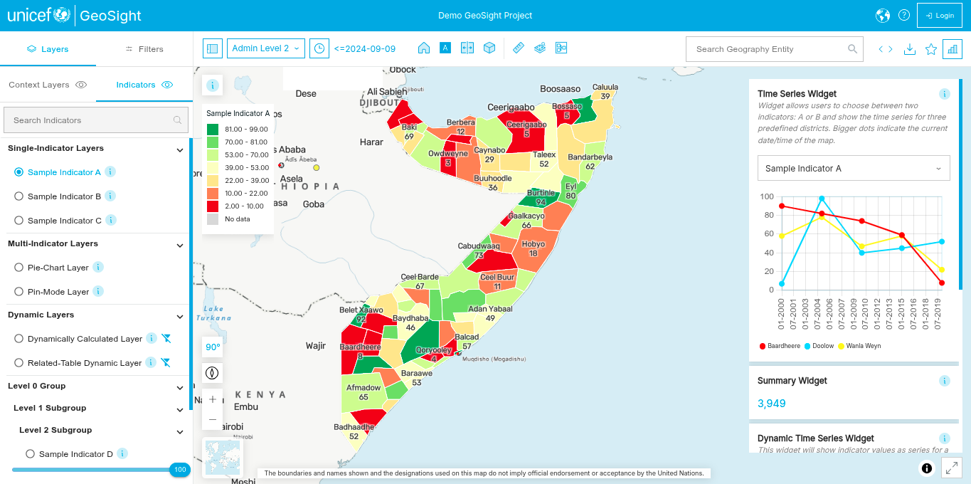
We built the GeoRepo platform for UNICEF to provide a platform for hosting versioned administrative boundaries. The platform uses PostgreSQL and PostGIS for the storage of measurement data and spatial data which we deliver as vector tiles using Tegola. We also implemented an API that allows users to search for boundaries and information about boundaries.
Services Provided
- Development
Project Timeline
—
—
Start Date
2022-09-12
Clients
—


